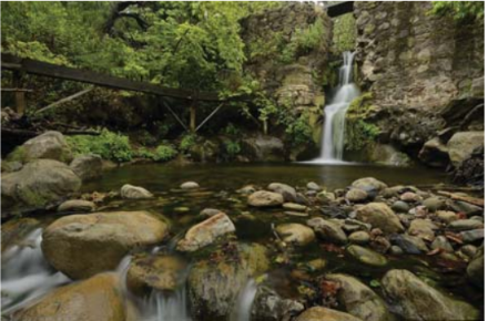
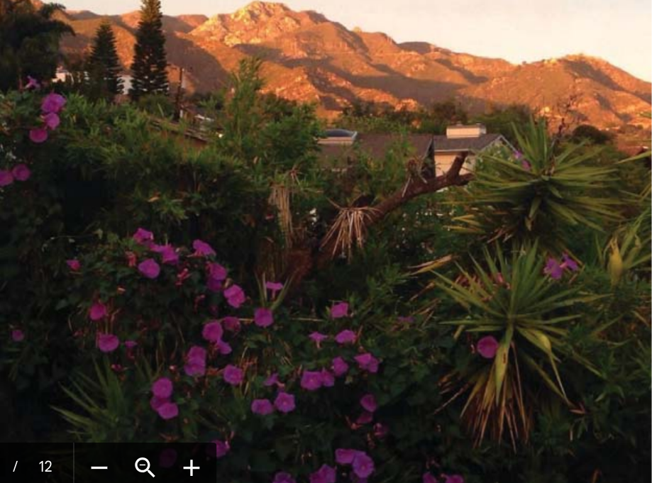
It wasn’t that I outgrew my Eastview apartment, with its spacious rooms and expansive views, it outgrew me. With my dimming eyesight, I no longer could see the Mission bell towers and could barely discern the shape of Montecito Peak. From my new apartment at Brandel Hall, I have a pleasant view of trees, south sun, and flocks of musical goldfinches. Instead of woodpeckers visiting my suet, I have overwintering warblers with their more modest appetites.
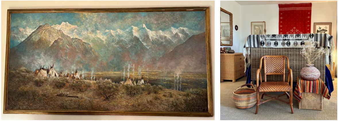
Moving to a studio apartment, gave me a chance to “lighten my load.” I kept my favorite painting of a snowy mountain range with an Indian encampment in the foreground inspiring me to decorate my apartment in a style I call neo-tepee, allowing me to use my collection of hanging rugs, pots and woven baskets.
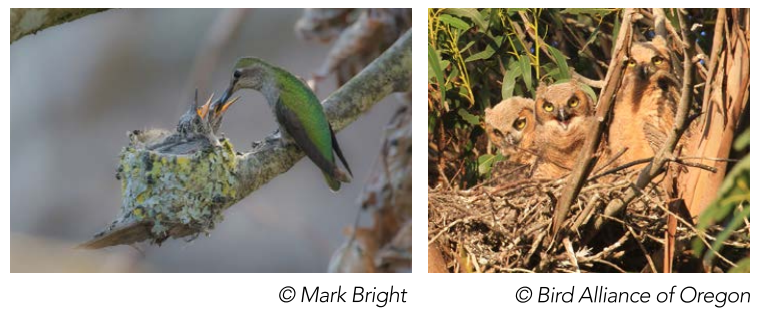
I am not the only January nester. The small Anna Hummingbirds and the large Great Horned Owls also build their nests in January. The hummingbirds fashion their nests from grasses and spiders web decorated with lichens while the owl builds a casual structure from sticks piled up in a tall tree.